
Walk a Framingham Street by Address
The strongest Framingham address-record trail separates parcel ownership, recorded title, and evidence of an address appearing in a dated list. First, write the address as it is printed on the document in hand. The city assessment record can resolve it to a parcel or M-B-L, while MapGeo places that parcel among nearby lots. The Registry then supplies a distinct title trail. A local street list or directory may add a dated household reference. None of these records should be merged into a claim that every named person presently lives at the address.
- Use the Framingham VGSI assessment portal with the parcel address or M-B-L. Record the fiscal year, parcel identifier, displayed owner field, and any sale or book/page reference.
- Open the same location in the City of Framingham MapGeo viewer. Check that the mapped parcel and street spelling match the assessment result.
- Search the Middlesex South Registry of Deeds by property or town, then inspect the instrument image. A book/page reference is a lead, not a complete deed reading.
- For an individual registration question, use the state lookup only with the required identifiers. A public voter list is requested through Framingham City Clerk and Elections, not by browsing a statewide name list.
- For a past address snapshot, consult Framingham Library street lists or directories by the appropriate year. Keep a directory year separate from present-day parcel data.
That sequence gives each source one role. It also leaves an audit trail when an address has changed number, street form, or use.
Framingham Street Directory Search Fields
The city directs address researchers to its FY2026 assessment database. The Assessors Department says the portal can be searched by owner name, parcel address, or Parcel ID/M-B-L. It does not use bill numbers. Assessment information is tax and valuation material. It can identify the city record tied to a parcel, but it does not establish who occupies the location.
| Assessment field | Input type | Required | Framingham search note |
|---|---|---|---|
| Owner Name | Text | Portal-dependent | Use the displayed name as an assessment field, not a residency finding. |
| Parcel Address | Text | Portal-dependent | Best starting point for a Framingham address search. |
| Parcel ID / M-B-L | Text | Portal-dependent | Links the address to the city parcel identifier. |
| Bill Number | Not used | Not applicable | The city specifically says bill numbers are not a search key. |
The assessment page identifies the data as FY2026 and notes the Department of Revenue-mandated FY2024 revaluation. Capture the displayed fiscal year with any value. A value is not a sale price, and it says nothing by itself about an occupant.
The Framingham assessment-search screen shows the city-linked owner, address, and M-B-L entry routes.
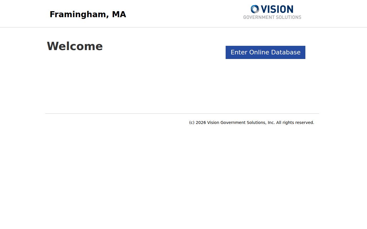
Use the returned parcel as the bridge to the mapped record and deed index, while preserving the assessment year beside the result.
MapGeo Parcels Along Framingham Streets
MapGeo supplies the street-level spatial view that the assessment search lacks. Its visible controls include Property Quick Search, map selection, Zoom To, Share, Print, themes, and parcel preview. The vendor guide describes quick search as accepting an owner name, street address, or ID number; it also documents attribute and spatial filters. Exact live field labels and a ZIP-specific filter were not exposed in the inspected interface.
A selected card may show the address, owner field, mailing address, assessment, sale data, book/page, land, building, and map context. Treat each as a field reported by the map or its linked data. MapGeo warns that data may change, may come from third parties, and should be independently verified with the city or a licensed professional.
The Framingham MapGeo property viewer shows the parcel map and property-search interface.

The map can show nearby parcels, but it does not prove any social connection among people associated with those parcels.
- Parcel
- A defined tract in the city’s assessment and map systems, usually tied to an identifier such as M-B-L.
- Situs address
- The physical property address used to locate a parcel. It can differ from an owner’s mailing address.
- Plat or plot plan
- A plan filed with a record or permit. Framingham cautions that a plot plan is not the authority for a boundary dispute.
- Criss-cross directory
- A historical directory organized by address so a reader can review a street for a particular edition year.
The Framingham ZIP-capable property-card example shows how an address, owner field, mailing address, assessments, sales, book/page, land, building, and map context can appear together.
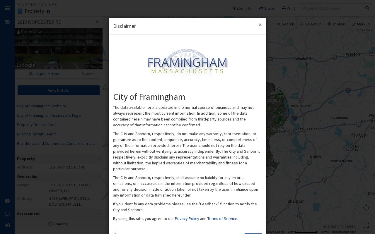
The card provides property metadata, so its postal fields should be checked against the parcel and recorded instrument rather than treated as a people list.
Framingham Street Names Need Care
Before comparing Framingham street records, normalize the mailing form through the USPS ZIP Code Lookup, but retain the original spelling in research notes. The official tool offers By Address, By City and State, and Cities by ZIP routes. A USPS result standardizes an address and ZIP. It does not confirm that a named person or organization is located there.
Older material can use a prior name, a route, a unit, a post office box, or a different number. An address may also have been subdivided or changed from an estate or farm into a multi-unit property. Search the Registry with the town and property forms, MapGeo by address or parcel, and directories by both street and surname. When historic inventory material is needed, the city advises searching MACRIS by city and street without a house number because older forms can omit or vary it.
Maps add a second check. Digital Commonwealth, BPL, and Historic Map Works materials can show whether a road, parcel, or structure existed in a period. The 1889 map’s “Framington” label is a practical OCR and map-search quirk, so test that variant rather than assuming a no-result is final.
Note: Keep the USPS display form and the older source spelling together when a Framingham address changes across records.
Follow Framingham Street Deed Trails
Framingham lies in the Middlesex South Registry district. The Registry portal separates recorded land, registered land, plans, and registered-land plans. Its visible searches include name, document, book, property, recorded date, and unindexed property for Books 1 through 1024. For address research, select the property or town route before treating a party-name hit as relevant. Parties can include trustees, lenders, corporations, nominees, attorneys, grantors, and grantees.
A deed is a legal instrument, not an occupancy list. It commonly has parties, consideration or stated value, a legal description, book/page or instrument reference, execution and recording dates, and acknowledgments, though the details vary. The Framingham historic-home guidance says a deed often points to the previous sale by book/page. Follow that reference backward and read every image. Probate can interrupt a normal sale chain, and older documents are less standardized.
Most twentieth-century deeds are described as digitized. The city warns that research around 1900 or older may require the Cambridge office, without giving a hard cutoff. If the chain breaks, check recorded and registered land, plans, probate, and the office rather than treating the online result as complete.
Framingham Street History Needs Context
The city’s historic-home research route connects a modern address to MACRIS, Digital Commonwealth, BPL maps, directories, deeds, probate, and municipal materials. It cautions that historic inventory forms began in the 1970s, may be incomplete, and are planned for updates. A street-by-street result becomes stronger when two independent dated sources support a transition.
Saxonville, Downtown, Nobscot, and Framingham Centre all have development histories that can change how a street label or property use appears over time. Saxonville grew around a Sudbury River textile mill; Downtown includes Coburnville, Lokerville, South Framingham, and Tripoli; Framingham Centre includes Pheasant Hill, Salem End, and Woodcrest Acres. These names provide historic context, not alternate ZIP boundaries or proof about a present household.
The official Framingham house-history workflow lists the address, map, directory, deed, and probate research sequence.
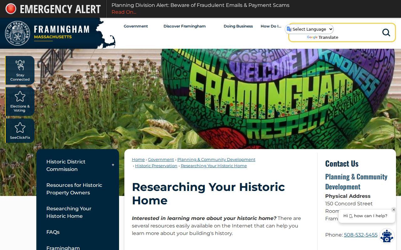
Use the workflow to date a property change, not to turn a historical address reference into a current-person claim.
Framingham Street Records You Can Search
Several Framingham record sets are keyed to an address, but each has a narrow purpose. The assessment and map records identify a city parcel. Registry material identifies recorded instruments. Permits and zoning can explain physical changes. Library street lists preserve historical snapshots. The City Clerk can handle a lawful public voter-list request, while the statewide lookup verifies an individual with supplied identifiers rather than serving as a street browser.
| Address record | Custodian | What the record can show | Framingham access route |
|---|---|---|---|
| FY2026 assessment record | Assessors Department | Parcel, assessment fields, and displayed owner information | VGSI portal or assessor office |
| Parcel map and card | City MapGeo | Mapped parcel, property-card fields, themes, and location context | Free MapGeo viewer |
| Recorded deed or plan | Middlesex South Registry | Indexed instrument and legal-title trail after image review | Free portal, Cambridge office for needed older work |
| Street list or directory | Framingham Public Library | Dated address or household snapshot | Framingham Room and research assistance |
| Permit or zoning file | City departments | Submitted property-change material when retained | OpenGov, older portal, archives, or a records request |
| Public voter list | City Clerk and Elections | Public list fields subject to governing rules and protections | Request through the local election office |
A parcel number can connect assessment and map records. A book/page can lead to the Registry. Street spelling ties those sources to dated library material. The match still needs source-by-source review.
Framingham Street Permit Records Changed
Address research sometimes needs the file that explains an addition, use change, or submitted plot plan. Framingham’s current OpenGov system has handled Inspectional Services, City Clerk, Licensing, Public Works, Public Health, and Fire workflows since July 1, 2025. Earlier permit material may remain in the old portal or city archives. Historical records also list Zoning Board filings from 1939 through 2013.
A narrowly written request should give the street, number, parcel if known, document type, and date window. The city notes that archive material may exist only if it was submitted with a permit; digitization is incomplete, and archive retrieval is listed at $30. Under the Massachusetts Public Records Law, ask the city for a fee estimate and segregable nonexempt portions when a request reaches beyond the portal.
Note: A permit file can explain a building change, but it does not establish a complete household history for the address.
Framingham Voter Records for Street Searches
Massachusetts does not offer a general public statewide voter directory for browsing a Framingham street. The individual voter lookup requires first name, last name, date of birth, five-digit ZIP, and an agreement checkbox. It is a verification route for one registration. A nickname may fail, an old ZIP may still appear after a move, and a recent registration can take two to three weeks to appear.
For public voter-list access, contact Framingham City Clerk and Elections at 150 Concord Street, Room 105, 508-532-5520. State guidance describes public list fields such as name, address, party, date of birth, active or inactive status, and voter ID, with paper or electronic production through local offices. Production cost and format depend on the office. Confidential voter registration can suppress a protected name and address from street lists and public disclosure. An absence from a list is not proof that someone is not a voter or resident.
Framingham Street Directories Date Results
The Framingham Room genealogy materials include street lists with residents from 1920 to the present, along with directories, maps, newspapers, cemetery records, and family collections. A street list is valuable precisely because it is dated. Read it as evidence that an edition or list placed a name at an address in that year, not as a present-day conclusion.
Cross-check a listing against the assessment year, deed date, map date, and any independent historical source. If the task shifts from a modern address chain to understanding older published volumes, the Framingham city directory collections provide the fuller historical-shelf route. Keep the question narrow: parcel ownership, recorded title, or a dated address appearance are different findings.
Limits of a Framingham Street Search
An address search cannot supply a reliable complete list of everyone at an address. Assessment cards may list an owner or business entity and a mailing address. Deeds describe legal interests. MapGeo displays parcel information. A directory or street list preserves a published historical snapshot. Protected voter records, the Massachusetts Address Confidentiality Program, court restrictions, and limits on motor-vehicle information all narrow what is publicly available.
When a record matters, verify it with the keeper and protect unit details, private mailing information, and protected addresses. Address-based research should describe records, not build a profile of a person.