
Framingham ZIP Code Coverage by Postal Route
Official USPS and state material support five postal codes for Framingham: 01701, 01702, 01703, 01704, and 01705. The first two are standard Framingham delivery codes commonly used for street addresses. The remaining three are Framingham postal or PO Box codes. The Massachusetts DTA guide lists the full 01701 through 01705 range, while a USPS Postal Bulletin groups 01702 through 01705 with the Framingham delivery unit. The inspected sources did not expose a separate post-office assignment for every PO Box code, so the table preserves that limit.
| ZIP | Areas Covered | Post Office | Notes |
|---|---|---|---|
| 01701 | Standard Framingham street delivery | Framingham postal service | One of two standard street-address codes identified in the research. |
| 01702 | Standard Framingham street delivery | Framingham delivery unit | USPS Postal Bulletin groups this code with the Framingham delivery unit. |
| 01703 | Framingham postal or PO Box service | Individual assignment not exposed | Do not assume ordinary street delivery from the code alone. |
| 01704 | Framingham postal or PO Box service | Individual assignment not exposed | Verify the actual address through USPS. |
| 01705 | Framingham postal or PO Box service | Individual assignment not exposed | Grouped with the Framingham delivery unit in the cited bulletin. |
Use a full address to decide which code belongs with a record. A postal code is a delivery tool, not an official neighborhood label. Read the postal listing as an address-normalization aid, not as a roster.
Start Framingham ZIP Searches With USPS
The USPS ZIP Code Lookup is the postal authority for address form. Its By Address mode accepts company where shown, street address, city, and state. By City and State returns ZIP codes associated with a postal city, while Cities by ZIP returns city and state names associated with a five-digit code. The live form marks required fields, but the exact validation labels can change.
USPS can standardize a mailing address and return ZIP or ZIP+4 when it finds a match. It cannot verify that a named person or organization is there. Treat the postal result as one address field, then compare it with a city parcel address, a Registry legal description, and an independent source dated for the question at hand. The Framingham postal location is listed at 330 Cochituate Road, Framingham MA 01701-9998, with 508-620-0400 as its phone number.
Framingham ZIP Code Geography Is Separate
ZIP codes are postal delivery constructs, not political boundaries. A code can cross a municipal or neighborhood line, and a PO Box code may have no ordinary street delivery. That is why a ZIP-based result narrows mailing geography but does not prove that an address falls inside Framingham city limits or that a named person is connected to it. A ZIP lookup has a useful but limited role: it helps standardize the starting address.
Do not add 01718 to Framingham merely because it shares the 017 prefix. Official ZIP material associates 01718 with Village of Nagog Woods and Acton. Likewise, city neighborhood labels do not map one-to-one to postal codes. Nobscot, Saxonville, Downtown or South Framingham, Framingham Centre, Route 9, Golden Triangle, and Tech Park are useful place terms, but an actual address must be tested in USPS and the city GIS.
Those place terms also hold local history that a postal code cannot carry. Downtown includes Coburnville, Lokerville, South Framingham, and Tripoli, while Framingham Centre includes Pheasant Hill, Salem End, and Woodcrest Acres. Saxonville’s Sudbury River mill history and Nobscot’s older village pattern explain why an address may be described by more than one local label. They remain geographic context, not postal zones.
Note: Use a postal code to refine an address, then use city and county records to identify the correct parcel.
Framingham MapGeo Has No ZIP Field
City of Framingham MapGeo is useful after a ZIP search produces a candidate street address, but the inspected interface did not expose a ZIP filter. Its Quick Search generally accepts an owner name, street address, or ID number. The viewer also offers map selection, themes, parcel preview, share, print, and spatial tools. A ZIP should not be entered as though it were a MapGeo resident field.
Use the address to find the parcel, then treat the card as parcel and assessment context. MapGeo says its data may not be current, may include third-party data, and should be independently verified. Its value here is geographic: it helps confirm which mapped parcel corresponds with the postal address. It does not create a list of people within a postal code.
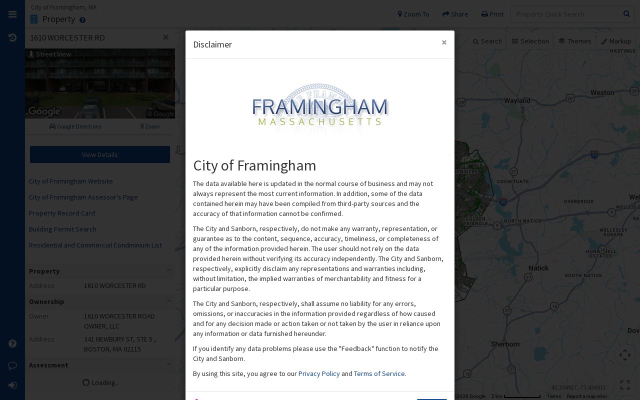
The Framingham MapGeo property viewer displays the property-search and parcel-map interface.

After the map resolves a parcel, preserve the address spelling and parcel identifier for the assessor or Registry step.
Check Framingham ZIP Results Against Parcels
Postal and parcel research should remain separate until an address is matched. The Framingham VGSI assessment portal allows owner name, parcel address, and Parcel ID/M-B-L searches. Its FY2026 assessment information can identify the city parcel record. Assessment is a tax valuation record, not a statement of occupancy or a substitute for a deed.
Once the parcel is identified, the Middlesex South Registry of Deeds can be searched by property or town. Read the image before drawing a title conclusion. Recorded and registered land are different systems, and a party field can name a grantor, grantee, trustee, lender, corporation, or attorney. Postal data, assessment data, and a recorded instrument each support different claims.
Narrow Framingham Records by ZIP Code
Finding a person by ZIP is not a public browse function in Framingham. The practical workflow is address-first: use the ZIP to validate a candidate mailing address, then use the address in the city systems. The Massachusetts voter tool is an individual verification service requiring a first name, last name, date of birth, five-digit ZIP, and an agreement checkbox. It is not a ZIP-wide list. A lawful public voter-list request goes to the local election office and remains subject to confidentiality rules.
- Run the complete street address through USPS and retain its normalized ZIP or ZIP+4 result.
- Enter the street address or M-B-L in the Framingham assessor portal to locate the city parcel record.
- Open the address in MapGeo and confirm that the mapped parcel matches the city record. Do not expect the viewer to expose a ZIP filter.
- Use the parcel details and town name in the Middlesex South Registry to inspect the relevant recorded instrument.
- If a dated person record is necessary, consult the local historical sources or use the individual voter service with its required identifiers and protections.
When the ZIP has narrowed the search to a particular street, the Framingham street directory has the fuller address-record sequence. Keep the postal step distinct from that deeper parcel and deed work.
USPS Fields for Framingham ZIP Checks
The USPS form is the relevant ZIP-capable search surface documented in the research. Required markers are controlled by the live service, so the table records the modes and inputs rather than inventing static requirements. Enter only enough information to resolve the postal address. A result should be saved with the date of the lookup because postal routing can change.
| Lookup mode | Visible input | Form status | Use in Framingham research |
|---|---|---|---|
| By Address | Company where shown, street address, city, state | Required fields marked live | Standardizes a full mailing address and can return ZIP or ZIP+4. |
| By City and State | City and state | Required fields marked live | Returns ZIP codes associated with the postal city. |
| Cities by ZIP | Five-digit ZIP | Required fields marked live | Returns associated city and state names, not a city-limit ruling. |
| MapGeo Quick Search | Owner name, street address, or ID number | ZIP field not exposed | Use after USPS to resolve the parcel, not to browse postal codes. |
MapGeo’s vendor guidance also describes attribute and spatial filters, but the inspected Framingham interface did not show their exact field labels or a postal-code filter. The absence of that field is important when documenting a repeatable ZIP search.
Framingham ZIP Code Cards Show Property Data
A MapGeo property card can carry a postal address as metadata. The captured sample card displays an address, owner field, mailing address, assessments, sales, book/page, land, building, and map context. Those fields describe the city property record. A mailing address may differ from the parcel location, and a postal code on the card is not a people filter or proof that anyone is at the parcel.
The MapGeo ZIP-capable property-card example shows how address and property fields appear together.
Use the postal address to locate the correct parcel, then verify legal-title details through the Registry instead of treating the card as a complete record.
Framingham ZIP Code Terms Defined
Postal vocabulary can make a Framingham address look more certain than it is. These terms describe delivery routing. They do not establish city jurisdiction, ownership, or current occupancy.
- ZIP
- A five-digit postal delivery code used to route mail to a service area.
- ZIP+4
- An added four-digit segment that refines delivery routing for a matched mailing address.
- PO Box ZIP
- A code used for postal-box service and not necessarily for ordinary street delivery.
- Unique ZIP
- A postal code assigned to a single organization or location. The research did not identify one for Framingham.
- Carrier route
- A postal delivery sequence within a service area, not a political district or a neighborhood boundary.
Framingham ZIP Code Boundaries and City Limits
Framingham city limits, neighborhood labels, property parcels, and postal codes are overlapping systems with different keepers. The city map resolves parcels. USPS resolves mailing format. The Registry records instruments in a Middlesex South district. None replaces the other. An address bearing a Framingham postal name should still be checked against the city GIS before making a municipal-boundary claim.
The same caution applies to neighborhood terms. A reader may use Nobscot, Saxonville, Downtown, Framingham Centre, Route 9, Golden Triangle, or Tech Park to search historical material, but no official source reviewed here makes any one of those labels equal to a particular ZIP. The postal reference is most useful when it keeps those layers separate and makes the address testable.